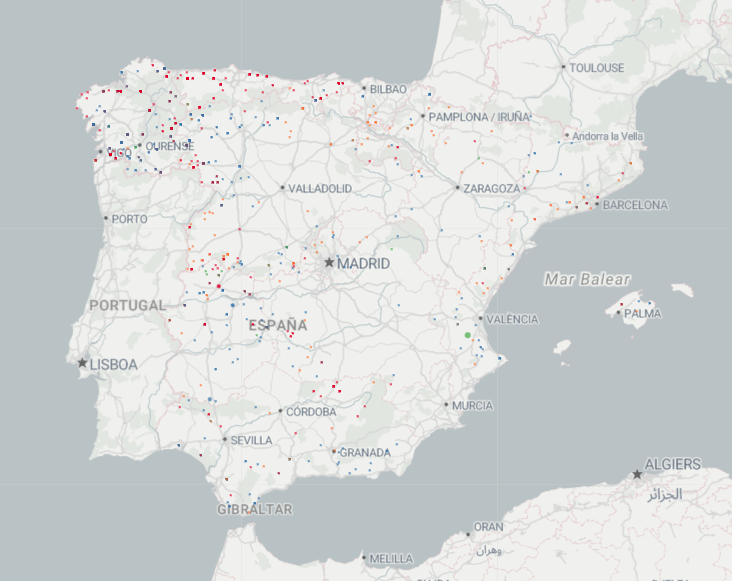
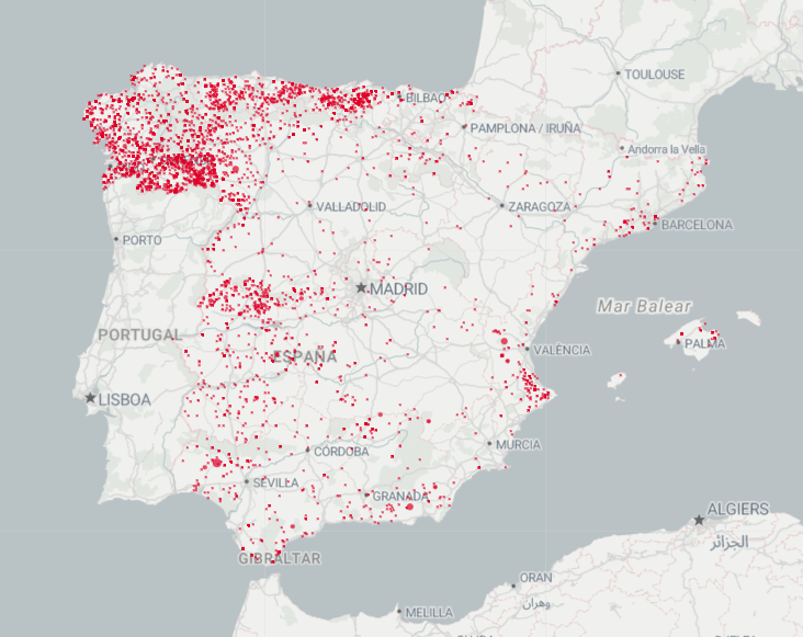
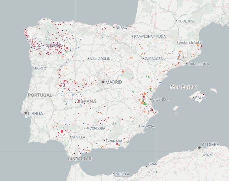
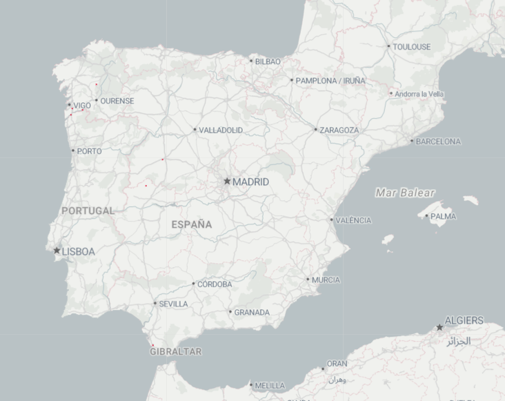
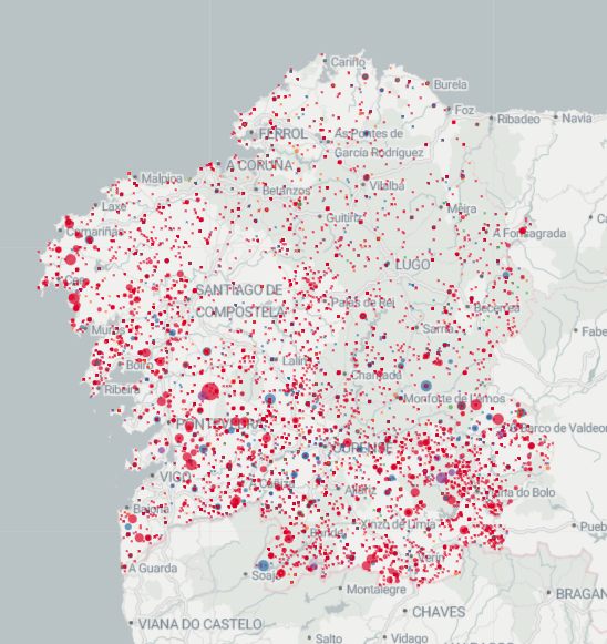
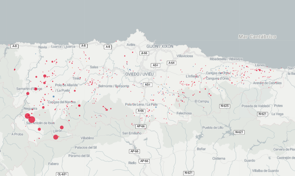
Forests fires map
To improve map performance, only fires that have affected 5 hectares or more are shown on mobile devices. If you want to see all fires that have burned 1 or more hectares, please visit this page from a computer.
Fires are positioned on the map according to the coordinates that appear in the General Forest Fire Statistics (EGIF), the database compiled by the Ministry, consolidated as of May 19, 2024. When they do not have coordinates or are poorly positioned (outside the limits of the province of origin), we locate them in the coordinates of the municipality of origin.
More information on the methodology.
